SnowDrone
SnowDrone
SnowDrone
Support for Hydroterra+ Snow Products and preparing for New SAR Snow Retrieval Methods

About the project

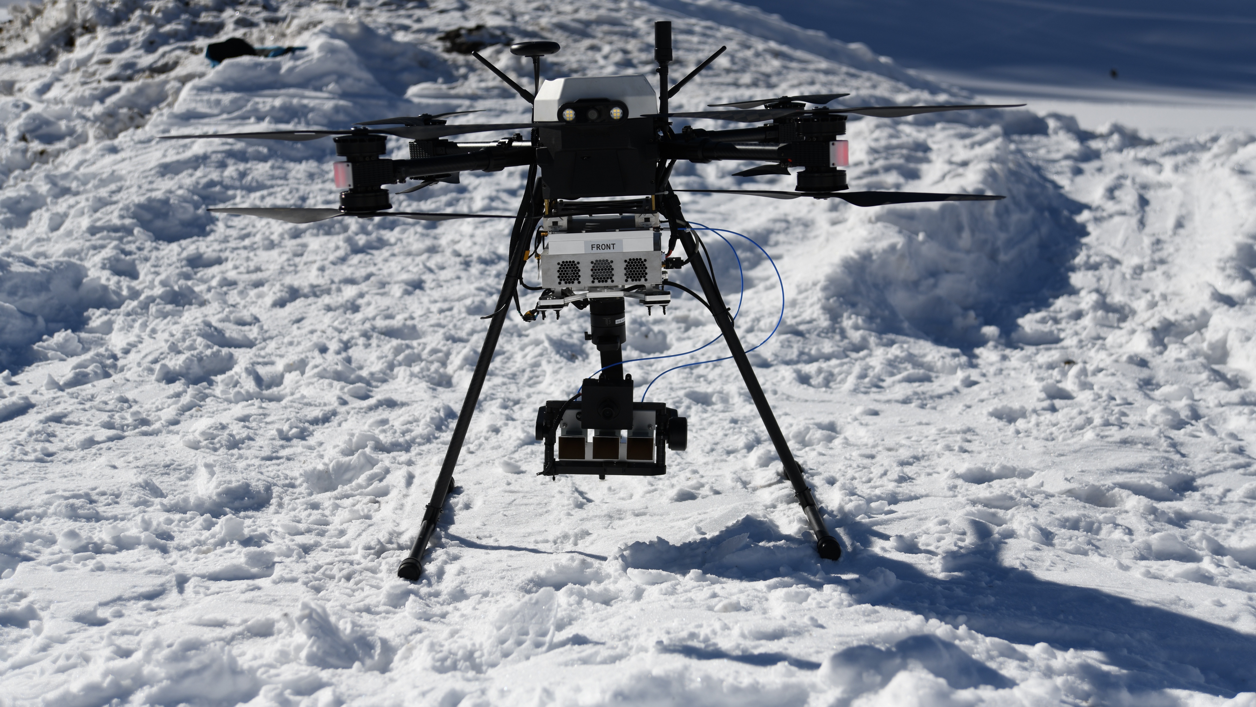
Image Credit: ENVEO/Jan Wuite

ABOUT THE PROJECT

SnowDrone

Objective

Develop and evaluate an algorithm for deriving Snow Melt Phases (SMP) products for Hydroterra+.

Assess the impact of snowfall and/or surface melt occurring during the integration time of Hydroterra+ acquisitions on overall image quality.

Investigate the potential of SAR tomography for retrieving snow height and snow water equivalent (SWE) in preparation for a future dedicated snow satellite mission.

Data

The project brings together a comprehensive range of EO satellite data and products describing parameters contributing to iceberg calving. Because of the complexity of ice shelves, these include observations of processes that operate at the surface, within, and beneath the ice.

Ambition

Our ambition is to provide an adaptable and transferable framework for a future AI-based early warning system, that harnesses the power of instreaming EO datasets to deliver actionable information to a range of scientific and governmental stakeholders.

Funding

The project is supported by the European Space Agency (ESA), Contract No. 4000152559/26/NL/IB/ar

SnowDrone

This project aims to develop and evaluate an algorithm for deriving Snow Melt Phases (SMP) products for Hydroterra+. It will assess the impact of snowfall and/or surface melt occurring during the integration time of Hydroterra+ acquisitions on overall image quality. Furthermore, it will investigate the potential of SAR tomography for retrieving snow height and snow water equivalent (SWE), in preparation for a future dedicated snow satellite mission.

The project includes one pre-campaign in autumn 2026 and two multi-day measurement campaigns at the Gossenköllesee high-mountain test site during winter and spring 2026/2027. The winter campaign (January/February 2027) will focus on dry snow conditions, while the spring campaign (March/April 2027) will investigate wet snow and surface melt–refreeze processes. Both campaigns will combine C-band SAR drone observations, X-band tomographic SAR (TOMOSAR) acquisitions, in-situ snow measurements and meteorological observations to investigate snowpack properties and their temporal evolution. Each campaign will last up to eight days, with timing adapted to weather and snow conditions to ensure safe operations and optimal measurement opportunities.

  Project Results

News

The project will kick off on 29 October 2026 at ENVEO in Innsbruck, followed by an initial reconnaissance visit to the field site. Further updates will follow soon.

Consortium

Our consortium brings together a world-leading team of Earth Observation and AR experts, with a strong track record in developing satellite retrieval, and a history of high-impact science. Our team has been at the forefront of developing novel applications for a diverse range of EO datasets, including observations of snow and radar measurements of surface melt

ENVEO
ENVEO IT GmbH

Prime

Innsbruck, Austria

Aresys
Aresys

Project Partner

Milano, Italy

Politecnico di Milano - polimi


Politecnico di Milano - polimi

Project Partner

Milano, Italy

RESULTS

Project Results will be added here

CONTACT

Location:
ENVEO IT GmbH
Fürstenweg 176
6020 Innsbruck
Austria

Email: fantin@stcorp.no


Image Credit: ENVEO/Jan Wuite